B8 Road from Malindi to the T-Junction on A3 - 331 kilometres, Kenya
Africa / DTM / Engineering Surveying / Geodetic Control / GNSS / Kenya / Mapping / Road SurveyCLIENT: World Bank/Kenya National Highways Authority
YEAR: 2016
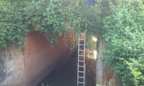
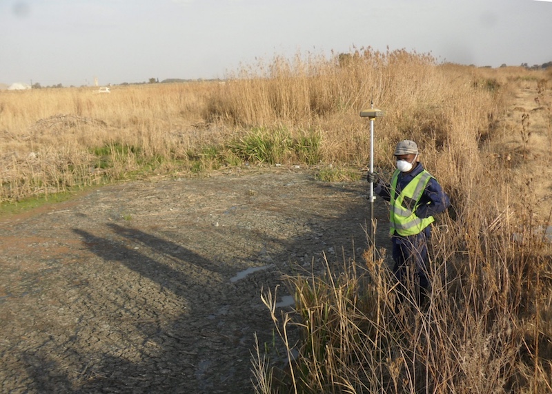
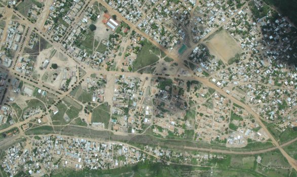
RGC supported the detailed design of 331 kilometres of road through urban, peri-urban and rural areas. Historic data was collated, the existing control researched and located (where possible). A discussion regarding local datum transformations was had with the local surveyor. A WGS84 Datum GNSS network was established, topographic mapping completed and concreted control beacons placed every 1km. The local system was identified and a suitable datum transformation recommended. RGC provided topographic mapping of each location showing all relevant details; culvert inventory, vertical alignment details and survey data. A Digital Terrain Model (DTM) was generated.
For the last 100km the survey team were under Kenyan Police escort due to security concerns.
[RENG001]