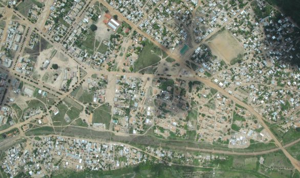
The Swazi Can Factory and Housing in Malkerns, Swaziland
Africa / Cadastral / Chartered Land Survey / Land Registration / Mapping / SwazilandCLIENT: Swazi Canners (Rhodes)
DATE: 1998
RGC (then MnS) mapped the external building footprints in relation to the Cadastral Boundaries of the factory and all other structures. MnS also then mapped all machines bolted in position both outside and inside all buildings; including pipe layouts and multi-storeyed. Produced a three dimensional GIS system for the factory and surrounds to an accuracy of 2.5 centimetres.
[MS031]