Geographic Information Systems (GIS)
GIS technology is invaluable for scientific investigations, resource management, asset management, archaeology, environmental impact assessment, urban planning, cartography, criminology, geographic history, marketing, logistics, prospective mapping and other purposes.
RGC’s highly qualified staff, equipped with cutting edge technology, offer a wide range of services. This includes analysis, design, and execution of GIS projects, the design of information systems is critical to the ultimate data input into these systems and the types of data analysis that they can be used for. ESRI’s ArcGIS and the open sourced software QGIS are the key toolsets used in our assessment and ultimate structuring of the GIS platform design. RGC can capture, store, analyse, manage, and present data linked to any required location or dataset once this platform is designed – or alternatively the client can populate the platform with their own information for in-house analysis.
Land Information Systems (LIS)
Land Information Systems (LIS) are a follow on from RGC’s wealth of experience working in this sector. With our extensive knowledge of fully functioning GIS requirements, Land Information systems can be developed in conjunction with governments and their specific requirements. Typical platforms that are used in remote areas of the world include the World Bank funded SOLA, the open sourced platform QGIS, the more survey aligned systems of MicroStation and MapInfo right through to the more bespoke systems offered by ESRI.
Of primary concern regarding LIS systems is the data accuracy both with the administrative information captured and the positioning of any graphical information. The legal aspects of a LIS are tantamount to the success of the system and require collaboration between the Surveyor General departments and the Land Registry.
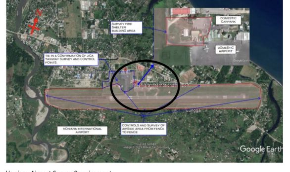
Please see our Portfolio: KfW Bank Germany ; Ministry of Natural Resources and Environment, Samoa
Training and Development
RGC provides professional support and development in all aspects of survey and survey related work. RGC have experience in the writing of survey specifications manuals for national authorities. These are important as the specification of survey has become far more complicated due to the ever changing technology that is available. The access to third party open sourced information has made countries specifying survey activities weary of either old tech or new, poorly delivered and not fit for purpose data. To overcome this RGC provides:
- Technical specifications at a National Level
- Structured training specific to these specifications and surveys in practice
Geodetic Support
RGC offers a geodetic support service, providing advice on datums, spheroids and grids. This is particularly needed where a client may have been provided geospatial data without relevant geo-referencing detail.
In addition to advising on application, RGC has done a full Transformation Network in Samoa on Upolu Island with LTA and MNRE, leading to greater collaboration between the two departments and a transformation from the 1940’s Lemuta Local system and the WGS84 based SGRS2005 system currently being employed.
Analysis and recommendations were also undertaken at a National Level in collaboration with OS UK to the Namibian Government. Please see our portfolio for these projects and others like them.
Asset Tracking, Mapping and Monitoring
Asset tracking, mapping and monitoring is also offered as a service for larger organisations needing to know where their assets are at any point in time or space. In a world that requires the honing and optimisation of several assets working in tandem over large geographic distances in varied cultures and conditions, the need to know the locality of any asset at any given point in time is critical. These assets can be as varied as spanners on a railway line to Trucks on the road.
RGC specializes in quantifying, mapping, tracking and reporting on the assets being tracked. By identifying the position of assets in time and space, with access to historic data, optimising the employment and use of these assets becomes relatively easy to do.