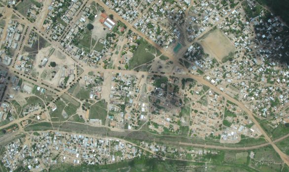
Denysville to Heilbron and Koppies to Schonkenville Roads, South Africa
Africa / Cadastral / Chartered Land Survey / Geographic Information Systems (GIS) / Land Information System (LIS) / Land Registration / South AfricaCLIENT: Mol Pro Consultancy (Pty) Ltd
DATE: 2016/17
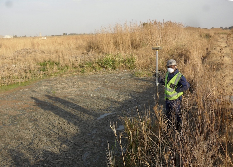
The roads from Deneysville to Heilbron and Koppies to Schonkenville were being upgraded. RGC was contracted to provide land acquisition advice for upgrading of the two roads. RGC undertook a full document search of Surveyor General (SG) data, met with famers, provided subdivision of properties for servitudes and pegging on the ground.
The detailed work entailed
- Verifying the existing road servitude, if there was one, and relating it to a common system of control and reference
- Establishing control along the road corridor or verifying and recalculating existing control to ensure homogeny with the cadastral control system.
- Comparing the new design to the existing road way by means of surveying the existing road centerline and edges off the verified control.
- Establishing the properties affected and the area of these properties.
- Working alongside the environmental and socio economic teams to make contact with each of the affected land owners.
- Pegging the new road reserve through the affected properties and liaising with the consultant and land owners on site to show these parcels.
- Finalising all pegging and cadastral information requirements
- Submitting to the local Land Survey department for official registration of the Right of Way Servitude.
[RCAD003/009]