Samoan National Transformation, Samoa
Additional Specialist Services / Cadastral / Chartered Land Survey / Coordinate Systems / Equipment / GNSS / Land Information System (LIS) / Large Scale Transformations / Pacific / SamoaCLIENT: SMEC on behalf of MNRE with LTA as the implementing office; funded by the Asian Development Bank
YEAR: 2019
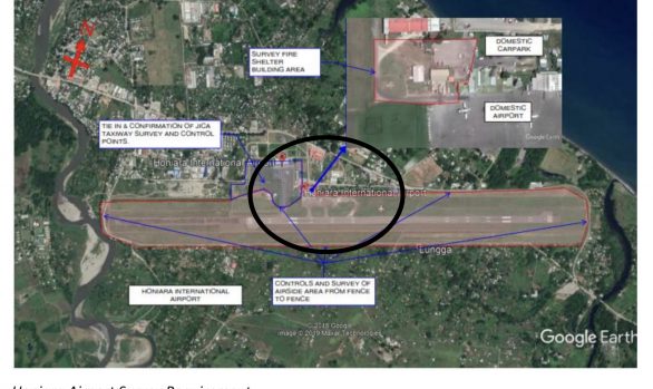
Planning the data collection required for the calculating of a transformation between the Lemuta system and the SGRS2005 (WGS84 ITRF2000) local system that has UTM Z2 grid coordinates. This required the logistical planning and coordination of both the Ministry of Natural Resources and Environment and the LTA transport authority.
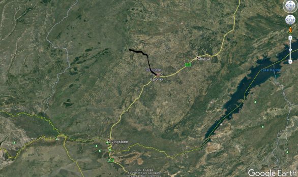
Ensuring existing points found met minimum standards and the time required for overlap measurements between Rover and Base positions per team as well as the overlap of data collection between teams was sufficient for optimal processing. The terrain in Samoa makes this exercise particularly difficult as it can take up to an hour to travel just 10 kilometres when heading into the mountains inland on the island.
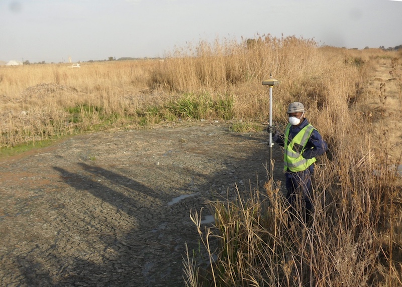
This exercise was conducted using Leica and Topcon post processing equipment and calculated using the Leica Infinity software. Assistance with the processing was given by Dr A Combrink. The transformation is to be used in the soon to be upgraded SOLA software package in country that is used by land registry and QA divisions. In addition, this updated transformation can be incorporated into the MapInfo software platform used by the countries mapping department to coordinate current LiDAR information and crisis ready management systems.


Planning MNRE/LTA