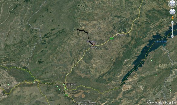
Detailed Design of Selebi Phikwe to Kasane Water Line, Botswana
Africa / Botswana / Engineering Surveying / Geodetic Control / LiDAR / MappingCLIENT: Botswana Water Affairs
DATE: 2012/13
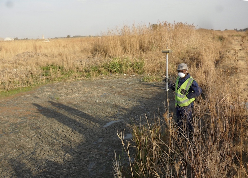
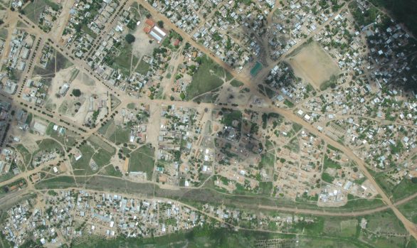
Supported the detailed design of 608 kilometres of water line through urban and rural areas. A GPS network was established and aerial concreted control beacons placed every 500m. The local datum system tied into and all control on the local benchmark datum. RGC (then MnS) checked all existing control. MnS oversaw and verified all LiDAR mapping data.
[ENG007]