Kigali to Ruhengeri, Rwanda
Africa / DTM / Engineering Surveying / Geodetic Control / GNSS / Road Survey / RwandaCLIENT: Roughton International
DATE: 2010
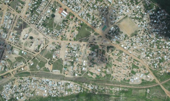
RGC (then MnS) supported the detailed design of 80 kilometres of road through urban and rural areas. Established a GPS network with concrete control beacons every 1km and undertook topographic mapping. The local datum was tied into and all vertical control on the local benchmark datum. Checked all existing control.
[MS472]