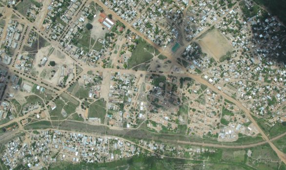
SD Cooper to Coca-Cola Road, Ganta, Liberia
DTM / Engineering Surveying / Geodetic Control / GNSS / Liberia / Mapping / Road Survey / Satellite ImageryCLIENT: Aurecon
DATE: 2016
This was a 6km road survey with two grade separations in central Monrovia, Liberia.
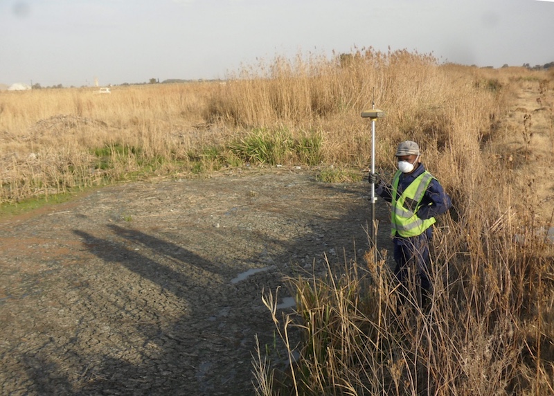
RGC reviewed any existing survey documentation and collated this information for use by the professional team. Pertinent existing features such as geodetic stations and cadastral boundaries were then identified and verified. Existing geometric standards for the road were reviewed and a detailed topographic survey conducted.
RGC combined aerial (satellite) imagery with ground survey to produce an accurate topographic model 500 metres wide and a Digital Terrain Model (DTM).
[RENG008]