Route Geographic Consultants
Menu
  • Home
    • Services
    • Portfolio
    • About
    • Team
  • Portfolio Gallery
  • Blog
  • Contact
Search

Portfolio Gallery

  • All
  • 12d
  • 3D Point Clouds
  • Additional Specialist Services
  • Africa
  • Angola
  • BBBEE
  • Botswana
  • Cadastral
  • Chartered Land Survey
  • Computer Aided Drafting
  • Construction Tender Drawings
  • Control with Levelling
  • Coordinate Systems
  • CORS Networks
  • DBX, HTML, XML, CSV ASCII Files
  • Democratic Republic of Congo
  • Digital Level
  • Drone
  • Drone Surveys
  • DTM
  • DXF, DWG, DGN
  • Education
  • Electronic Total Station
  • Engineering Road Design
  • Engineering Surveying
  • EPG
  • Equipment
  • Ethiopia
  • Europe
  • Funding
  • Geodetic Control
  • Geographic Information Systems (GIS)
  • GNSS
  • Health and Safety for Survey Projects
  • Horizontal, Vertical and Profile Design
  • Imagery
  • Kenya
  • Land Information System (LIS)
  • Land Legal
  • Land Registration
  • Large Scale Transformations
  • Lesotho
  • Liberia
  • LiDAR
  • Local Skills Transfer and Capacity Building
  • Localizations
  • Malawi
  • Mapping
  • Monitoring Surveys
  • Mozambique
  • Namibia
  • Nigeria
  • Pacific
  • Papua New Guinea
  • Papua New Guinea
  • Quantity Calculations
  • Road Survey
  • Rwanda
  • Samoa
  • Satellite Imagery
  • Sierra Leone
  • Software
  • Solomon Islands
  • Solomon Islands
  • South Africa
  • South America
  • Suriname
  • Survey Standards
  • Swaziland
  • Tanzania
  • TIF
  • Uganda
  • UK
  • Workshops and Training
  • Zambia

Kumalu Bridge Crossing, Papua New Guinea

12d / 3D Point Clouds / Cadastral / Chartered Land Survey / Computer Aided Drafting / Coordinate Systems / DBX, HTML, XML, CSV ASCII Files / Drone / Drone Surveys / DTM / DXF, DWG, DGN / Education / Electronic Total Station / Engineering Surveying / EPG / Equipment / Geodetic Control / GNSS / Health and Safety for Survey Projects / Imagery / Local Skills Transfer and Capacity Building / Mapping / Papua New Guinea / Satellite Imagery / Software / TIF

D5 - Mailita Road Network, Solomon Islands

Cadastral / Chartered Land Survey / Computer Aided Drafting / Coordinate Systems / DBX, HTML, XML, CSV ASCII Files / DTM / DXF, DWG, DGN / Engineering Surveying / Equipment / Geodetic Control / GNSS / Land Information System (LIS) / Land Legal / Localizations / Mapping / Pacific / Road Survey / Software / Solomon Islands

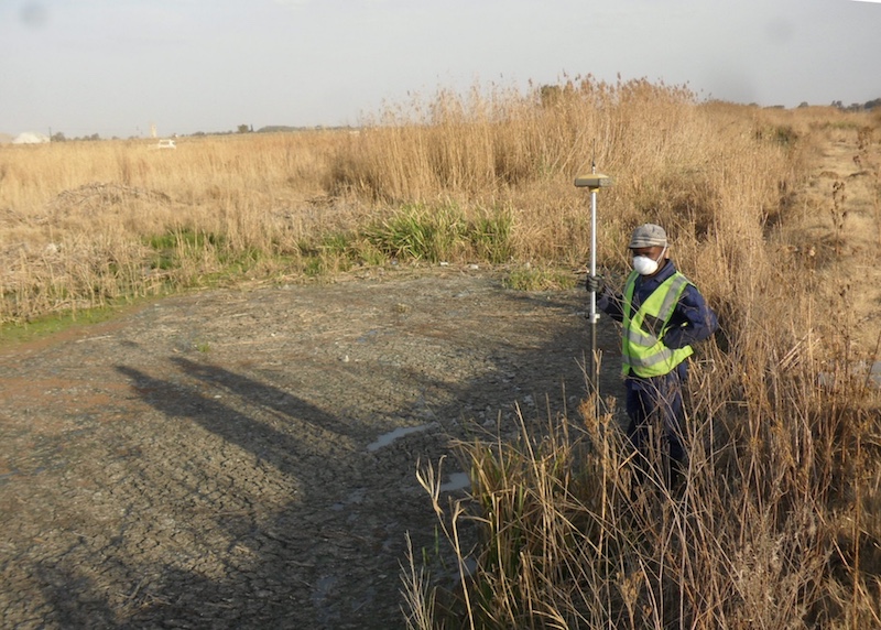
Honiara and Munda Airports, Solomon Islands

Cadastral / Computer Aided Drafting / Control with Levelling / Coordinate Systems / DBX, HTML, XML, CSV ASCII Files / Digital Level / DTM / DXF, DWG, DGN / Electronic Total Station / Engineering Road Design / Engineering Surveying / Equipment / Geodetic Control / GNSS / Health and Safety for Survey Projects / Horizontal, Vertical and Profile Design / Localizations / Pacific / Software / Solomon Islands

Pre-feasibility study mission, possible support to cadastral and geodetic activities; Namibia

Additional Specialist Services / Africa / Cadastral / Chartered Land Survey / Coordinate Systems / CORS Networks / Education / Europe / Funding / Geodetic Control / Imagery / Land Information System (LIS) / Land Legal / Land Registration / Large Scale Transformations / Namibia / Satellite Imagery / Survey Standards / UK / Workshops and Training
Samoan National Transformation, Samoa

Samoan National Transformation, Samoa

Additional Specialist Services / Cadastral / Chartered Land Survey / Coordinate Systems / Equipment / GNSS / Land Information System (LIS) / Large Scale Transformations / Pacific / Samoa
UPGRADING OF THE KLIPPAN PUMP STATION AND THE MOSTERT/SAND RIVER CANAL, SOUTH AFRICA

UPGRADING OF THE KLIPPAN PUMP STATION AND THE MOSTERT/SAND RIVER CANAL, SOUTH AFRICA

Africa / Engineering Surveying / Geodetic Control / GNSS / Mapping / South Africa

Space Geodesy Facility, Herstmonceux, UK

Additional Specialist Services / Engineering Surveying / Europe / Geodetic Control / GNSS / Mapping / UK
Francistown Power Grid Network Upgrade, Botswana

Francistown Power Grid Network Upgrade, Botswana

Africa / Botswana / DTM / Engineering Surveying / Geodetic Control / GNSS / Road Survey
Gedo-Fincha-Lemlem, Ethiopia

Gedo-Fincha-Lemlem, Ethiopia

Africa / DTM / Engineering Surveying / Ethiopia / Geodetic Control / GNSS / Road Survey
Matala-Manongue, Angola

Matala-Manongue, Angola

Africa / Angola / Drone Surveys / DTM / Engineering Surveying / Geodetic Control / GNSS / Imagery / Road Survey / Satellite Imagery
Suriname Road Survey, Suriname

Suriname Road Survey, Suriname

DTM / Engineering Surveying / Geodetic Control / GNSS / South America / Suriname
Luena: Lucusse to Cazombo, Angola

Luena: Lucusse to Cazombo, Angola

Africa / Angola / DTM / Engineering Surveying / Geodetic Control / GNSS / Road Survey
Oxbow to Makhotlong, Lesotho

Oxbow to Makhotlong, Lesotho

Africa / DTM / Engineering Surveying / Geodetic Control / GNSS / Lesotho / Road Survey
MR122 Road, Namibia

MR122 Road, Namibia

Africa / DTM / Engineering Surveying / Geodetic Control / GNSS / Monitoring Surveys / Namibia / Quantity Calculations / Road Survey
Kigali to Ruhengeri, Rwanda

Kigali to Ruhengeri, Rwanda

Africa / DTM / Engineering Surveying / Geodetic Control / GNSS / Road Survey / Rwanda
Freetown Ring Road Survey, Sierra Leone

Freetown Ring Road Survey, Sierra Leone

Africa / DTM / Engineering Surveying / Geodetic Control / GNSS / Mapping / Road Survey / Sierra Leone
Detailed Design of the Kawambwa to Luwingu Road, Zambia

Detailed Design of the Kawambwa to Luwingu Road, Zambia

Africa / DTM / Engineering Surveying / Geodetic Control / GNSS / Mapping / Road Survey / Zambia
Detailed Design of the Sipofaneni to St Phillips Road, Swaziland

Detailed Design of the Sipofaneni to St Phillips Road, Swaziland

Africa / DTM / Engineering Surveying / Geodetic Control / GNSS / Health and Safety for Survey Projects / Mapping / Monitoring Surveys / Road Survey / Swaziland
Detailed Design of the Akure to Illise and the Gombe to Bui Roads, Nigeria

Detailed Design of the Akure to Illise and the Gombe to Bui Roads, Nigeria

Africa / DTM / Engineering Surveying / Geodetic Control / GNSS / Mapping / Nigeria / Road Survey

Detailed Design of Selebi Phikwe to Kasane Water Line, Botswana

Africa / Botswana / Engineering Surveying / Geodetic Control / LiDAR / Mapping
  • 1
  • 2
© 2016 Route Geographic Consultants Ltd
  • Home
  • Blog
  • Contact
  • Admin