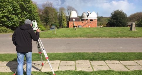
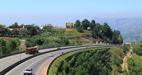
Several Factors are taken into consideration when looking at the condition of a road. These factors normally require the Engineer to spend a lot of time on site, making this type of Survey service invaluable to the Engineering profession as a whole.
We can collect all the required data and images on behalf of the Engineer in difficult to get to places that may be dangerous or onerous to be in.
The data includes the following types (but is not limited to these as every project is assessed based on need and fit for purpose vs costs):
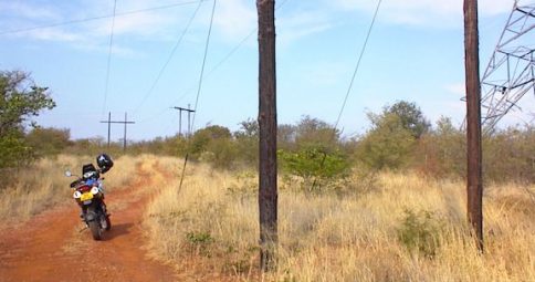
GPS Linked Ground Vehicle Video
Using Garmin video cameras mounted at various positions on the vehicle, a full set of video data is collected. This can be issued as a GPX file on the Garmin software or uploaded into the QGIS platform or a platform of choice discussed with the Engineer.
 Garmin Software
 QGIS Software
In either instance a position marker overlaid real time onto either Satellite or Line Mapping data is given tied to a recorded HD video at that exact position.
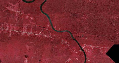
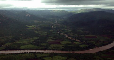
Aerial Information
Linked to this ground based video process will be the information captured by our HD Drones. These are LiDAR enabled drones that allow for single pass sub 5 millimetre accurate point positions along the road surface. The images are corrected based on ground control and can be used instead of satellite data in the QGIS platform.
This high precision data captured gives the following added dimensions to the data:
IRI and Rut Depth Indexing
Of all the above measurements, this measurement is the highest accuracy rating. Sub-millimetre is required in many instances with a density of points only achieved using a vehicle mounted scanner.
LiDAR attached to a slow moving and low flying quadcopter with direct wireless connectivity to ground based computer hardware is used to achieve this accuracy.
Using the above method we attain the 3D image using the overlap of images taken from the quadcopter and combining this data with the highly accurate data captured by the LiDAR giving a full 3 dimensional model of the road surface to submillimetre. This 3D model is then used to calculate at any given point a roughness index and rut depth for the whole road.
Visual surface inspection
The aerial imaging is to a high standard and is captured low and slow with HD camera fully stabilized.
All aspects of the road surface are clearly seen in these images.
Road reserve visual inspection
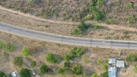
The full road reserve width is photographed and coupled to the video taken by road so that data obscured from the street view is clearly seen from the air. All information is GPS positioned.
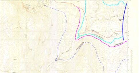
Horizontal and Vertical alignment
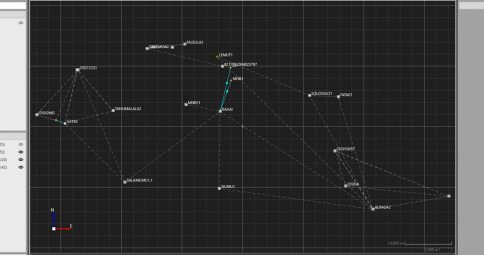
The full data set is GPS linked and can be accessed using engineering software to produce an accurate set of chainages linked to horizontal and vertical alignments for the full surveyed road system.
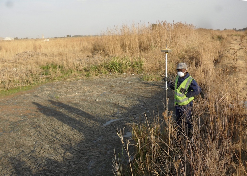
GPS linked position
All data captured is done using an autonomous, GPS linked quadcopter that ensures an accurate positioning of all data both globally and relatively. Allowing ease of viewing on platforms such as Google Earth or other free map data sources.
IRI (International Roughness Index)
Should the need for aerial images not be required, our vehicle mounted IRI gauges can be used.
Traffic Count Studies
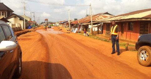
Using local experts to assist with the manning of traffic count stations, 12, 16 and 24 hour counts can be arranged across cities or countries as needed. With our wealth of expertise in the field of mapping and logistics, as well as our access to new maps and images of countries more difficult to get to roads, RGC is in a perfect position to plan and advise on traffic count station positions as part of an international team of experts.
There are many different additions that can be made to the offering as and when a project arises, much of these as a consequence of our 20 plus years of survey experience on infrastructure projects coupled with the fact that we will be on site as part of the survey. Bringing RGC into the project planning phase is critical to any project that may require road condition or traffic count data.
All data is captured in such a way as to allow you, our client, to use this data as part of a road maintenance program. Whether this is in Excel format or as a GIS linked maintenance program such as HDM4, RGC will deliver the project data in person and ensure that all program formats are standardised for ease of use.